PROPOLAR
  • SOBRE
    • MISSÃO
    • HISTORIA
    • ORGANIZACAO E EQUIPA
    • FINANCIAMENTO
    • COLABORACOES
    • O VOO PROPOLAR
    • CONTACTOS
    • FAQ
  • ATIVIDADES
    • PROPOLAR 2022-23
    • NOTÍCIAS PROPOLAR
    • COMUNICADOS DE IMPRENSA
  • ARQUIVO
    • CAMPANHAS E PROJETOS FINALIZADOS
    • CONFERÊNCIAS POLARES
    • CONVOCATÓRIA A PROJETOS
  • MATERIAIS E DOCUMENTAÇÃO
    • DOCUMENTAÇÃO DAS CAMPANHAS >
      • DOCUMENTOS DAS CAMPANHAS
      • Tratado Antártica & Protocolo Madrid
    • INFOTECA POLAR
    • PUBLICAÇÕES >
      • RESULTADOS CIENTIFICOS
      • RELATÓRIOS PROPOLAR
    • RELATÓRIOS INTERNACIONAIS
    • NORMATIVAS POLARES
    • MULTIMÉDIA
    • EXPOSIÇÕES >
      • EXPOSIÇÃO CARTOGRÁFICA
      • EXPOSIÇÃO FOTOGRÁFICA
      • FICHAS EDUCATIVAS
A CAMPANHA
PROPOLAR ​​2012-2013

Novembro de 2012 a Março de 2013
Campanhas e projetos de investigação do PROgrama POLAR Português

PROPOLAR 2012-13
PROJETO HISURF

Very high resolution imaging for detailed surface mapping in ice-free areas of Maritime Antarctica

ÁREA DE INVESTIGAÇÃO: CIÊNCIAS DA TERRA
BLOG DA CAMPANHA HISURF
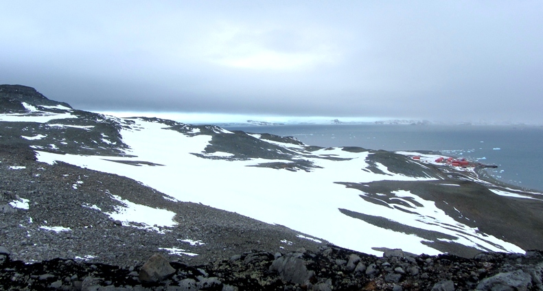
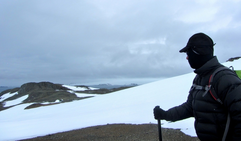
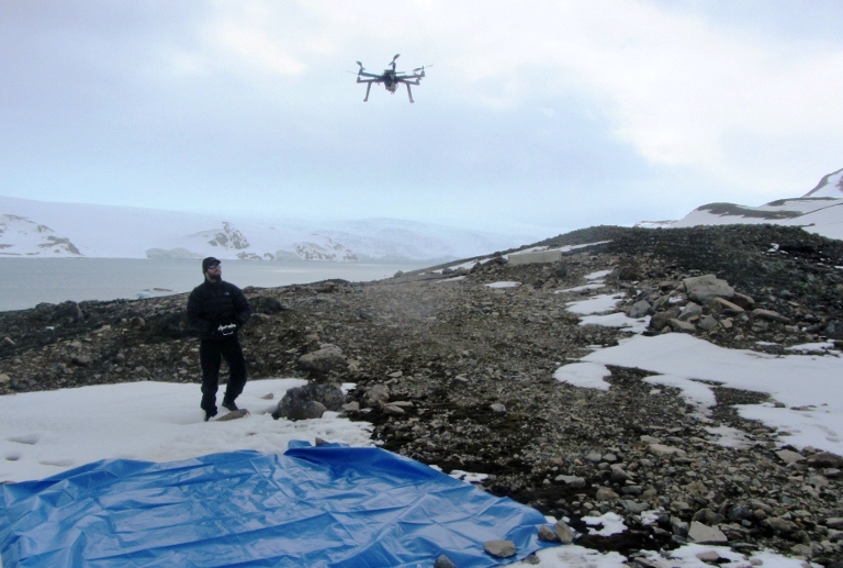
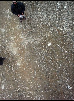
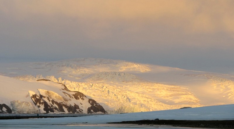
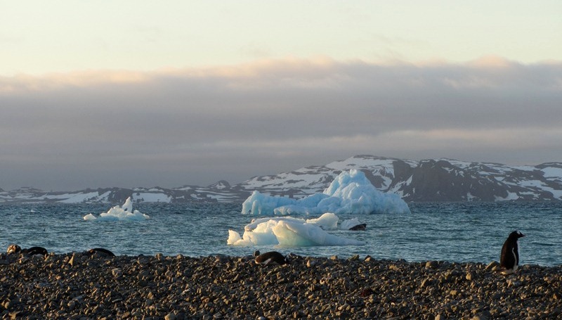
Este projecto tem como principal objectivo efectuar a cartografia com um detalhe nunca antes conseguido de áreas livres de gelo da Antártida Marítima através do uso de imagens de detecção remota de muito elevada resolução.

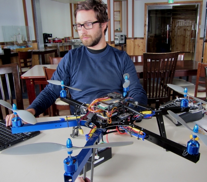
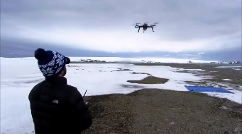
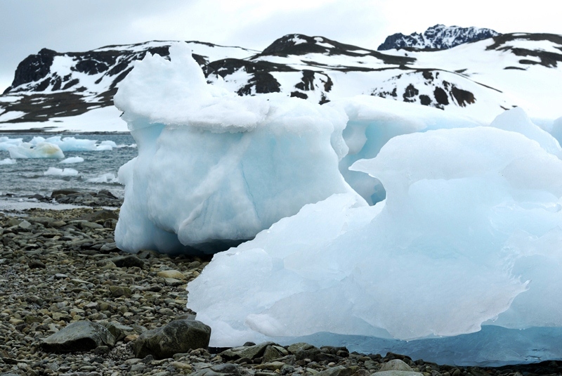
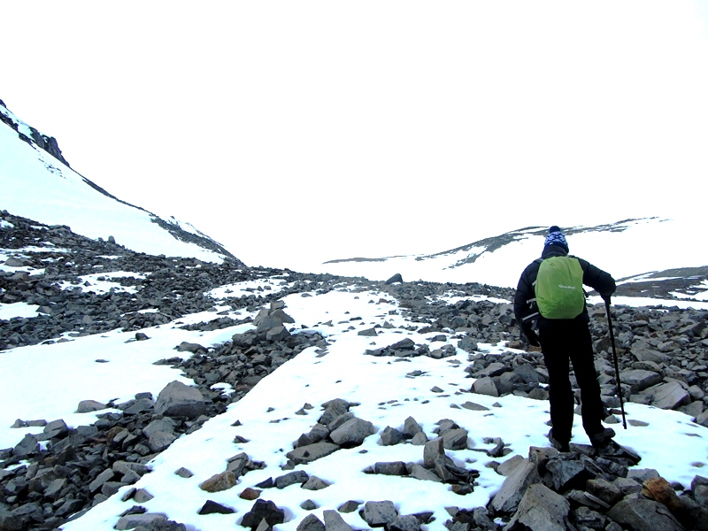
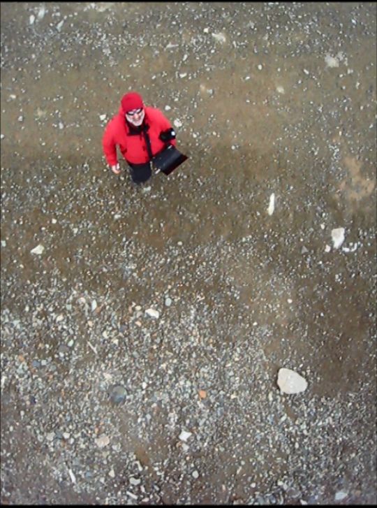
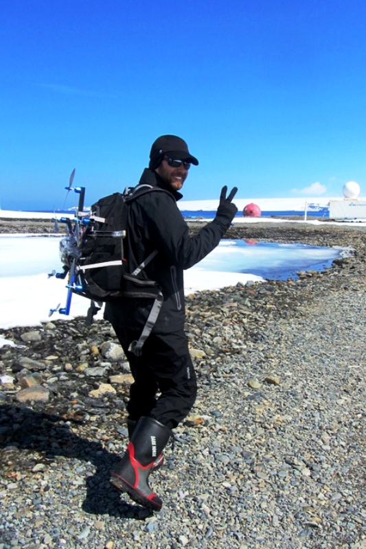
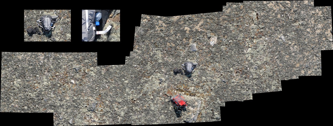
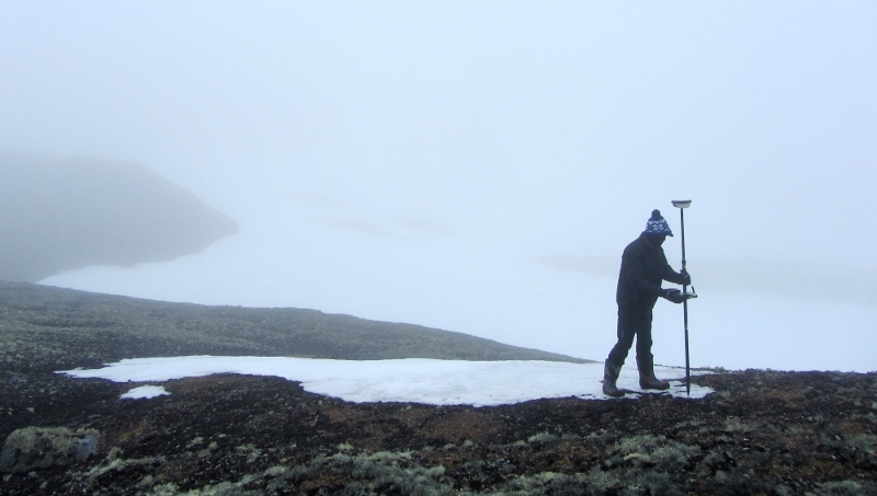
O nível de detalhe desta cartografia é fundamental para melhor se avaliar a evolução da paisagem numa das regiões da Terra onde as alterações climáticas são mais evidentes. A aquisição das imagens de muita elevada resolução espacial e espectral será efectuada por uma câmara hiperespectral de 200 bandas (350-1000 nm) instalada num helicóptero, enquanto o conjunto de imagens multitemporais será obtido por uma câmara instalada num Veículo Áereo Não-Tripulado (UAV). Um extenso conjunto de informação de referência será também obtido no solo através de um espectrómetro manual (identificação da classe) e de um GPS diferencial (localização topográfica). 

A campanha de campo será desenvolvida nas Penínsulas de Fildes e Barton na ilha de King George. Os detalhados mapas que se esperam obter a partir das imagens de detecção remota e dos dados de campo serão baseados em métodos de análise de imagem e reconhecimento de padrões.

PROJETO HISURF - equipa
DESTINO: Península de Barton, Ilha de King George, Arquipélago das Shetland do Sul


 Imagem
Pedro PINA [homepage]
Investigador Principal (IP)
​
Instituto Superior Técnico (IST)
EQUIPA DE TERRENO

Pedro Pina received the PhD degree from Instituto Superior Técnico (IST) with a thesis on mathematical morphology for characterization, modelling and simulation of natural resources. He published more than 200 papers in scientific journals, chapters of books and proceedings of international conferences and supervises currently several post-graduate students. His current research interests are related to the use of image analysis, pattern recognition and mathematical morphology for the characterization of planetary surface features. A list of ISI papers can be consulted in the ResearcherID.


 Imagem
Lourenço BANDEIRA 
EQUIPA DE TERRENO

Lourenço Bandeira graduated in Mechanical Engineering from Instituto Superior Técnico (IST, 2003), completed the MSc in the applications of visual control to robotics (IST, 2005) and received the PhD in the applications of pattern recognition techniques to the study of geomorphological features in planetary images (IST, 2011). He publishes regularly in scientific journals, chapters of books and proceedings of international and national conferences. His major interests of research are related to automated pattern recognition methodologies for remotely sensed image analysis.


 Imagem
Julio HERRERO [homepage]

Telecom Engineer (University of Vigo, 1996), PhD in Physics (University of Vigo, 2002), PhD in Signal and Image (Université Bordeaux 1, 2006). Currently Julio is a Profesor Contratado Doctor at the Department of Signal Theory and Communications of the University of Vigo. He teach and do research at the Escuela Técnica Superior de Ingenieros de Telecomunicación, in Vigo.


A CAMPANHA
2012-13
PROJECTOS 2012-13
  1. ANATOCU
  2. CEPH 2013
  3. CONTANTARC2 
  4. FISHWARM 
  5. HISURF
  6. HOLOANTAR 
  7. MATAGRO
  8. NITROEXTEM
  9. PERMACHANGE
DIÁRIOS DE CAMPANHA 2012-13

PROJETO HISURF - imagens
DESTINO: Península de Barton, Ilha de King George, Arquipélago das Shetland do Sul


Com tecnologia Crie um website único com modelos personalizáveis.